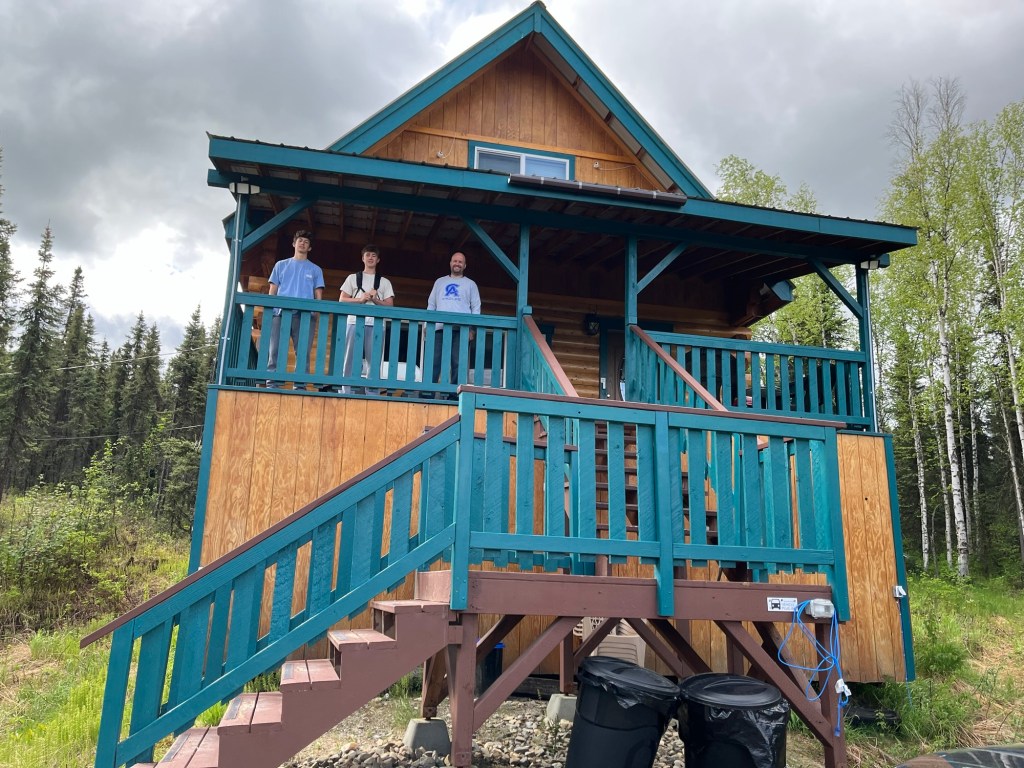
Today was probably our longest drive of this trip. We left our big old cabin near Fairbanks and made our way to the southeast corner of the Alaskan Interior. There is one pre-planned stop, but otherwise, we are just going to see what we see and stop when we need to stretch.
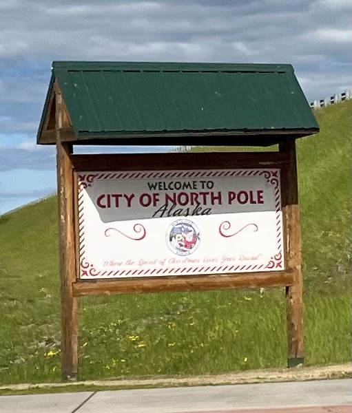
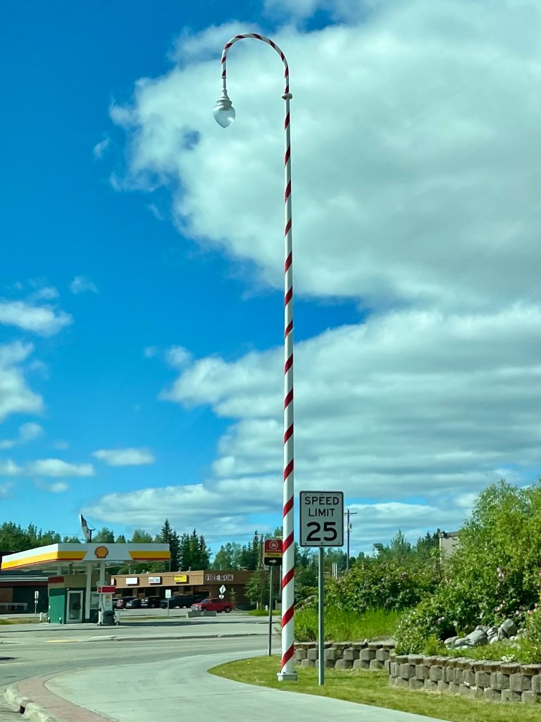
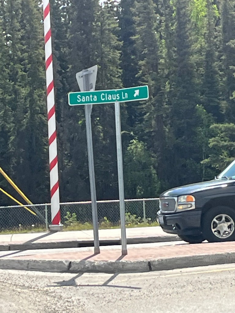
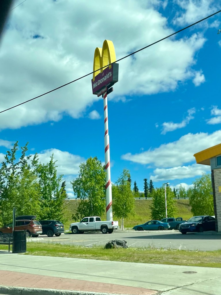
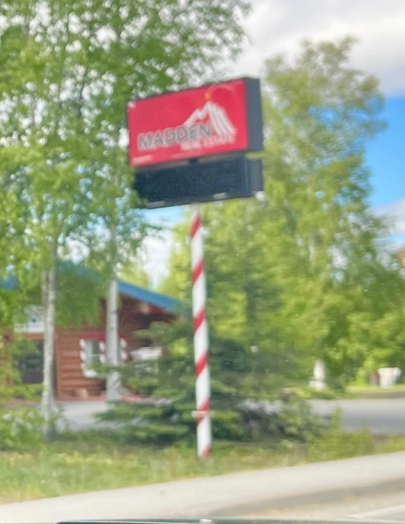
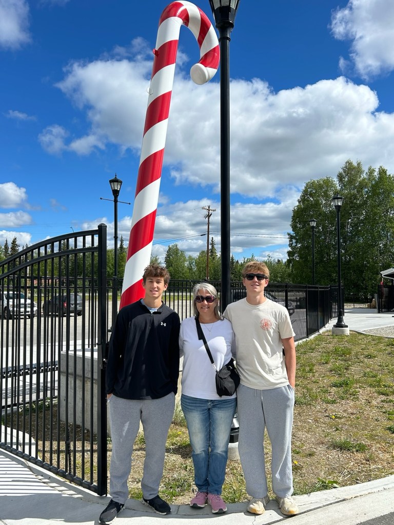
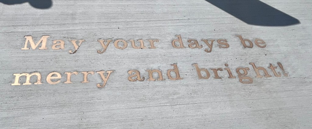
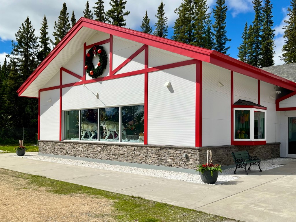
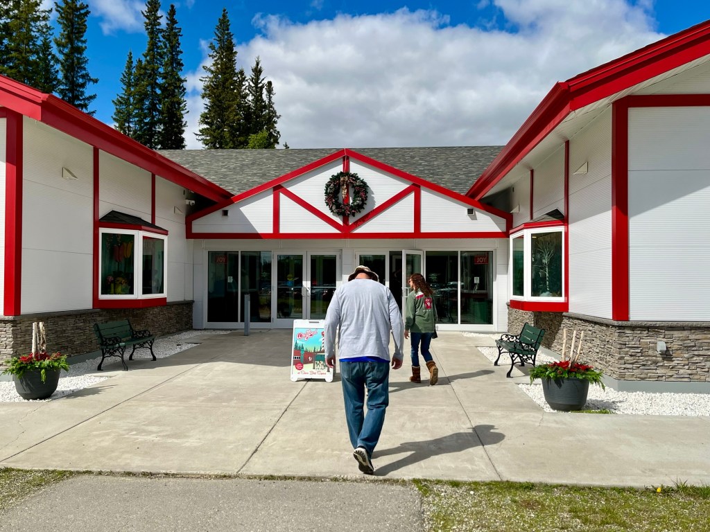
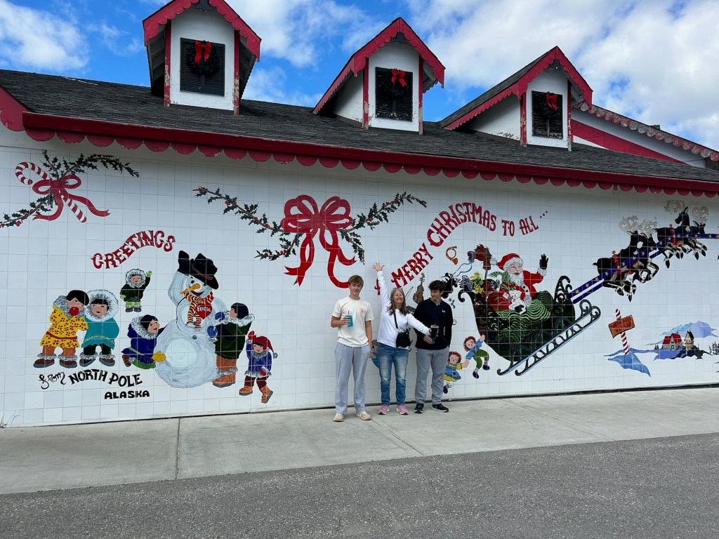
The one pre-planned stopped today was to North Pole, Alaska. Imagine the NC/SC line South of the Border area had a baby with Christmas, and that is North Pole, Alaska! Everything is Christmas themed! The light poles, the names of roads, the bank signs, McDonalds… the one place that didn’t have a candy cane pole was Wendy’s and it was closed 😂
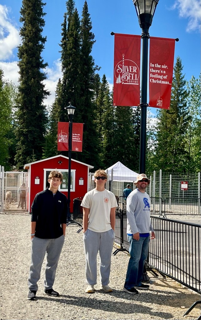
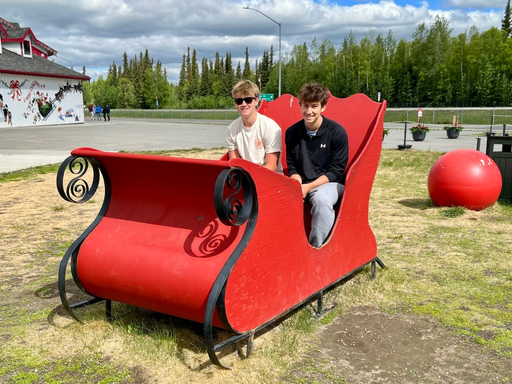
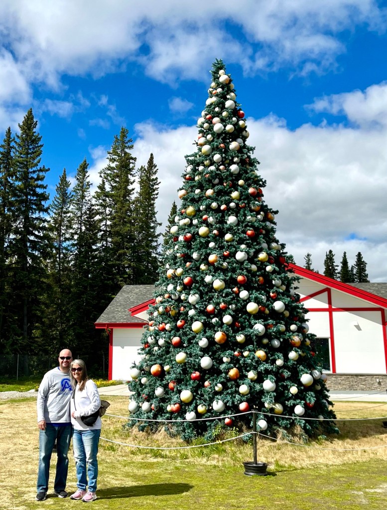
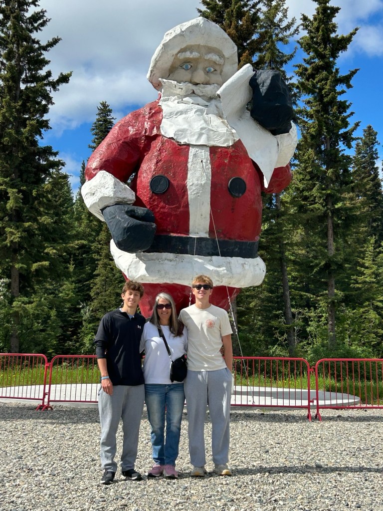
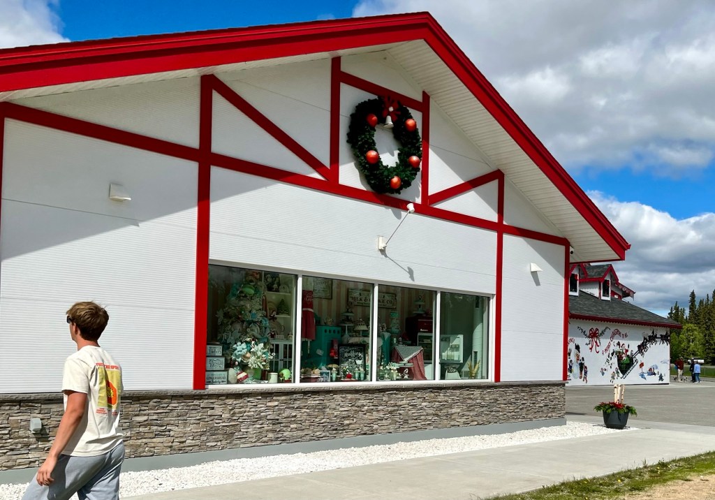
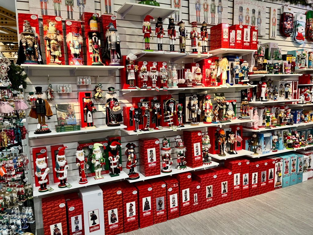
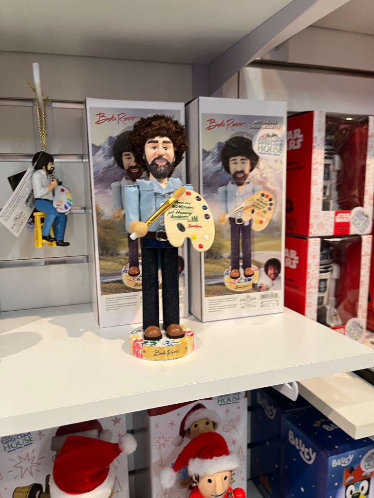
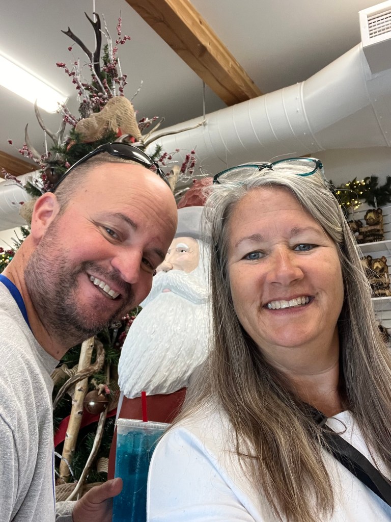
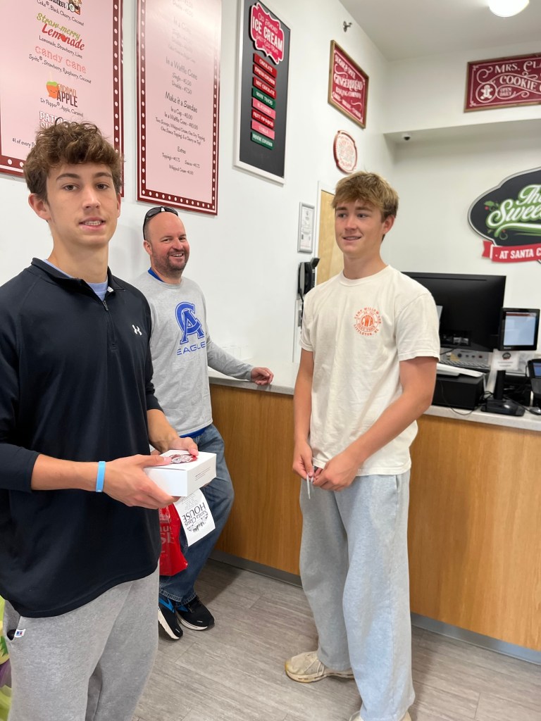
But the highlight of the town was the Santa Clause House! If you love Christmas and roadside attractions – this is it! We started in Silver Bell Square. My boys (all of them) were so good to indulge all my Christmasy requests!
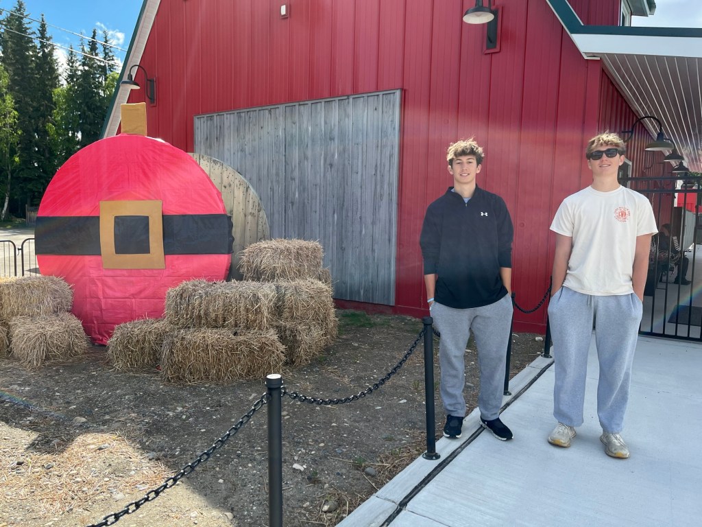
There is nothing Christmas that they don’t have… Bob Ross Nutcracker? ✔️Got It! Ornaments of childhood toys? ✔️Got it? Greenhouse “Old Christmas” ornament? ✔️Got it! Santa as a Dog Musher Snow Globe? ✔️Got it! Mike said he had never seen so many jingle bells in one place in his whole life.
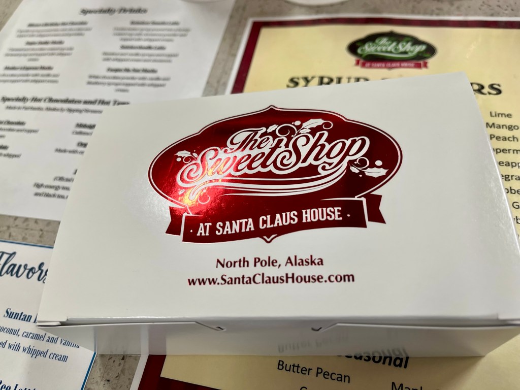
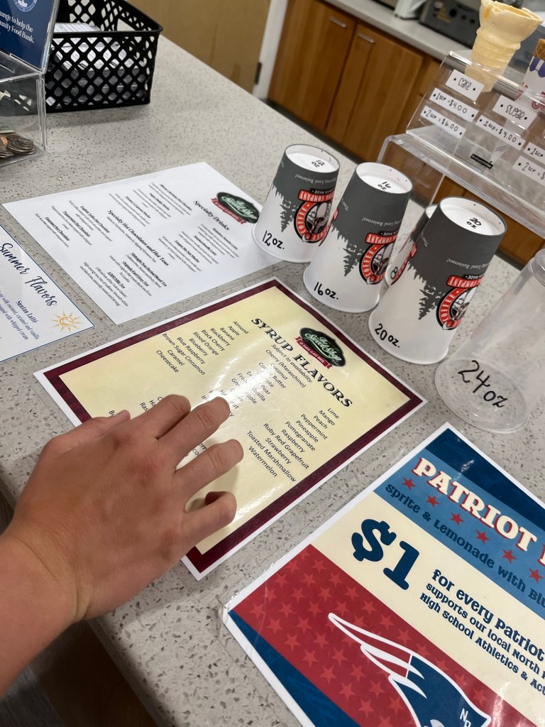
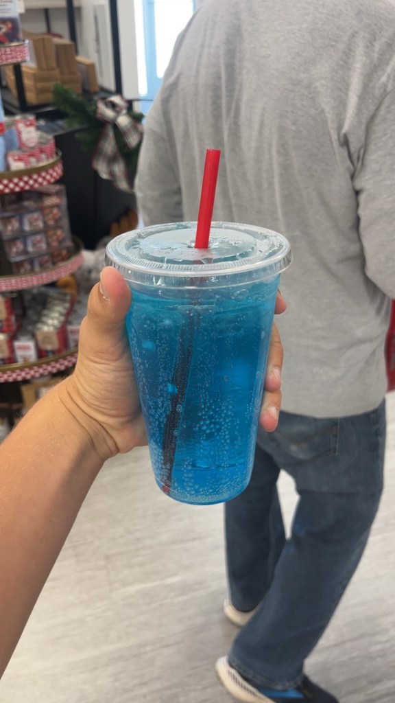
We stopped in the “The Sweet Shop” to buy fudge, chocolates and their specialty soda drinks. You pick a base (Coke, Diet Coke, Sprite, Root Beer, etc) and then pick 2 syrup flavors. I had Diet Coke with Orange Syrup and it was delicious! Boys had Sprite with Blue Raspberry and Lime syrup. They loved it – I thought it was like eating a bag of sour patch kids.
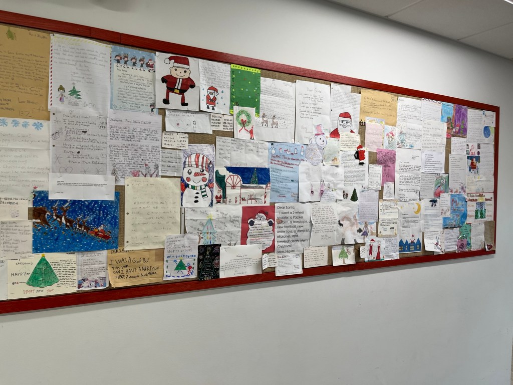
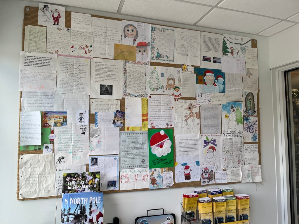
If you ever mailed a letter to Santa at North Pole, there is good chance it ended up here! They receive 1,000s of letters each year in every language!
North Pole was wonderful and if we were closer to home, I probably would start Christmas decorating now!
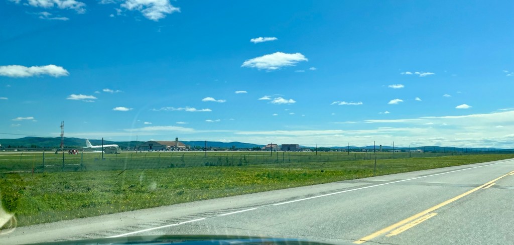
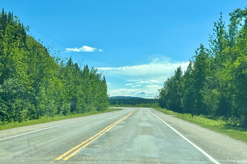
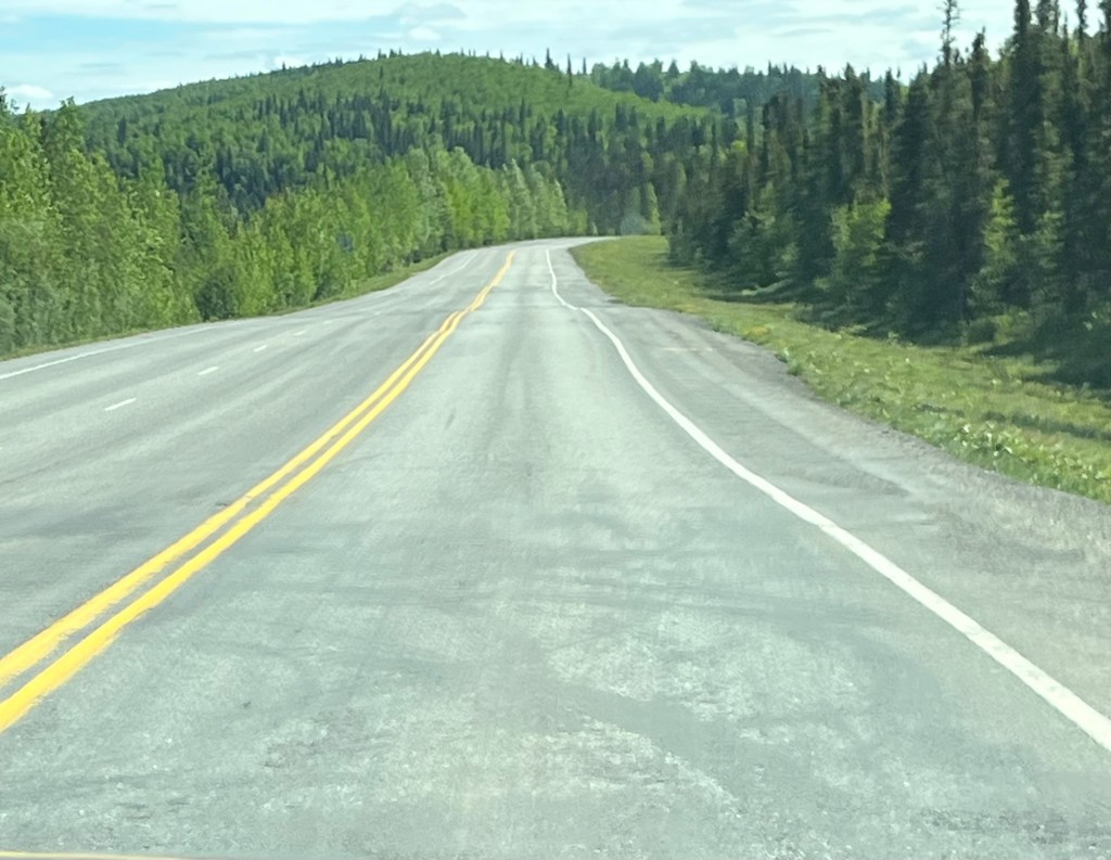
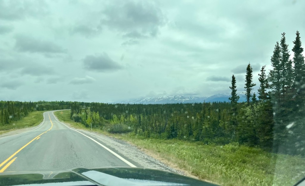
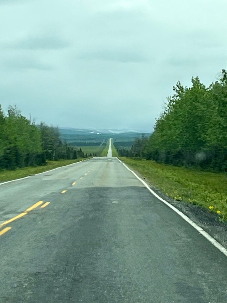
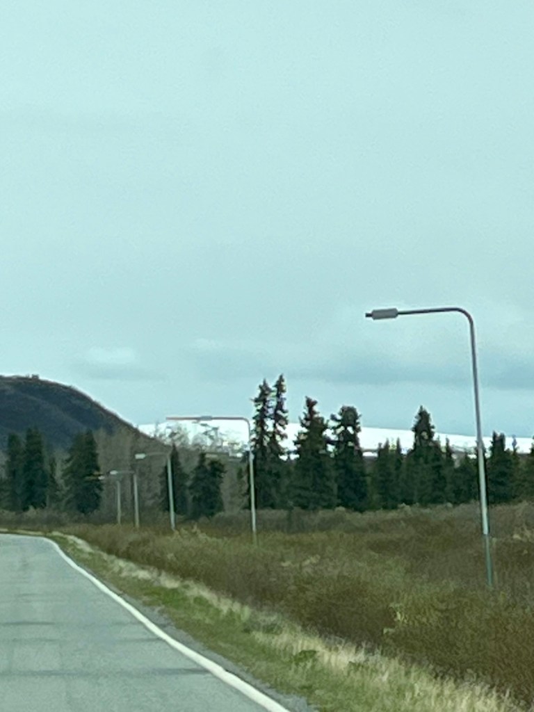
We left North Pole (still humming carols), and headed south. The topography was completely different on this side of Alaska. A lot of the area looked like North Carolina. Later today, we will go through the eastern side of the Alaskan Mountain Range, but for now, it is pretty flat.
We found more of the dippy roads, or rather they found us. A couple of times, the dips snuck up on us, and I’m fairly certain we were airborne for a second or two.
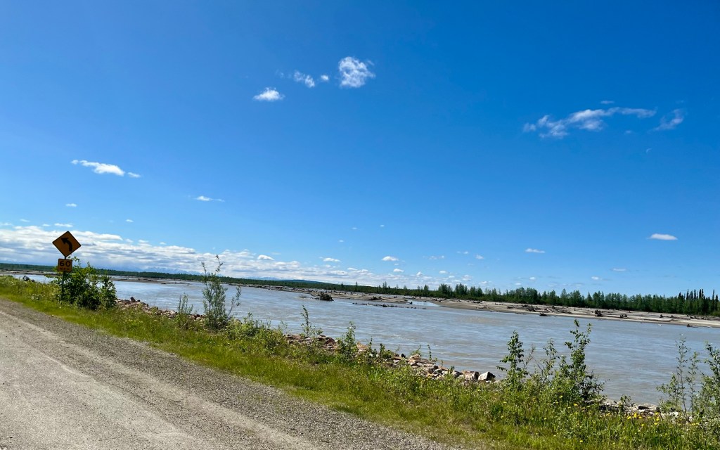
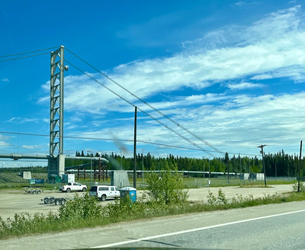
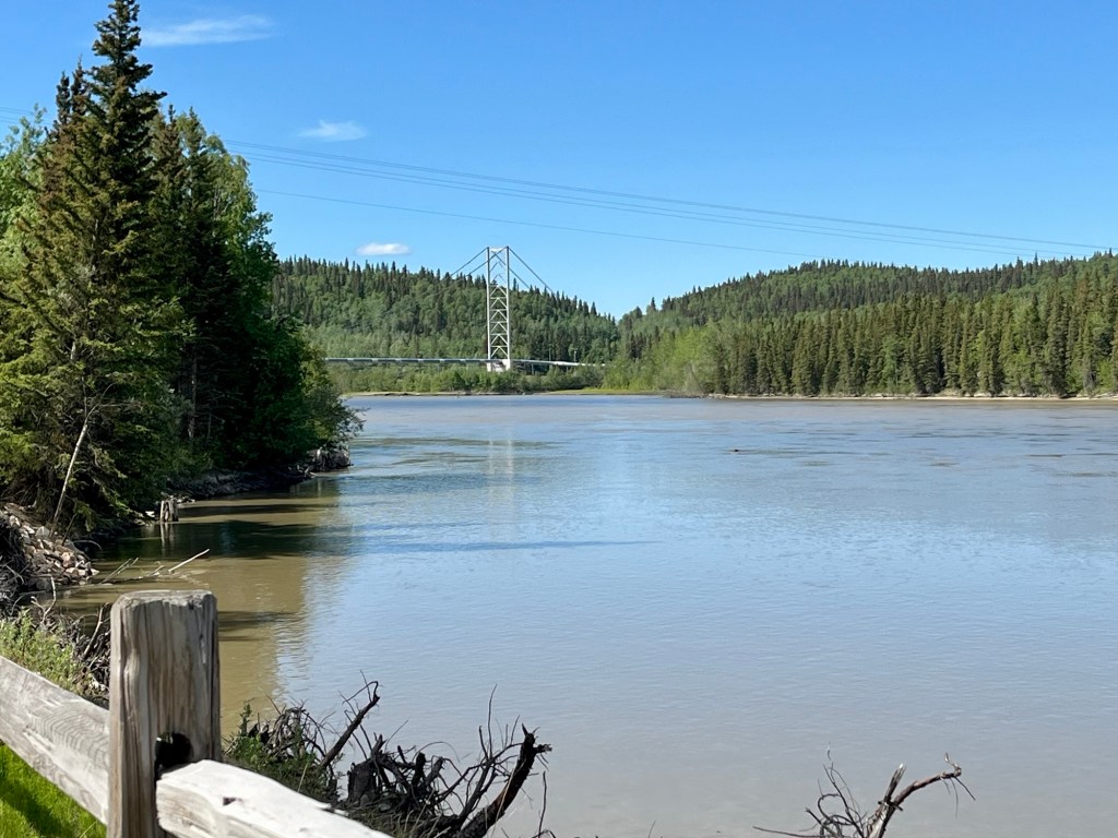
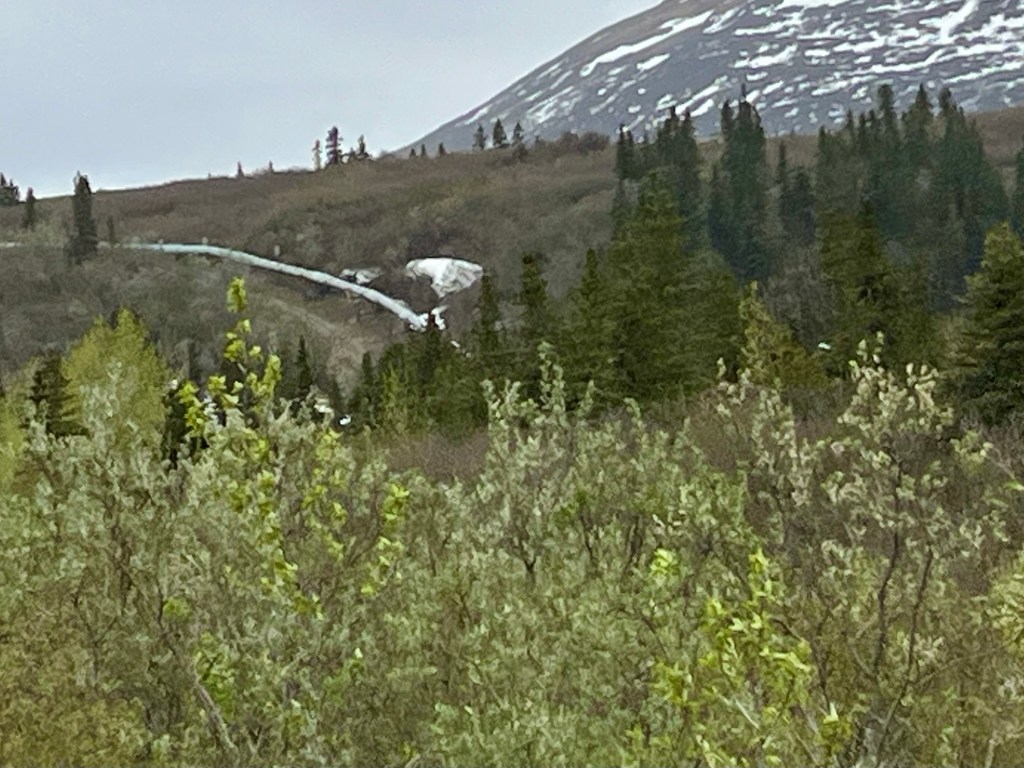
I think we are following the path of the Alaskan Oil Pipeline because we saw it several times in the background of our drive.

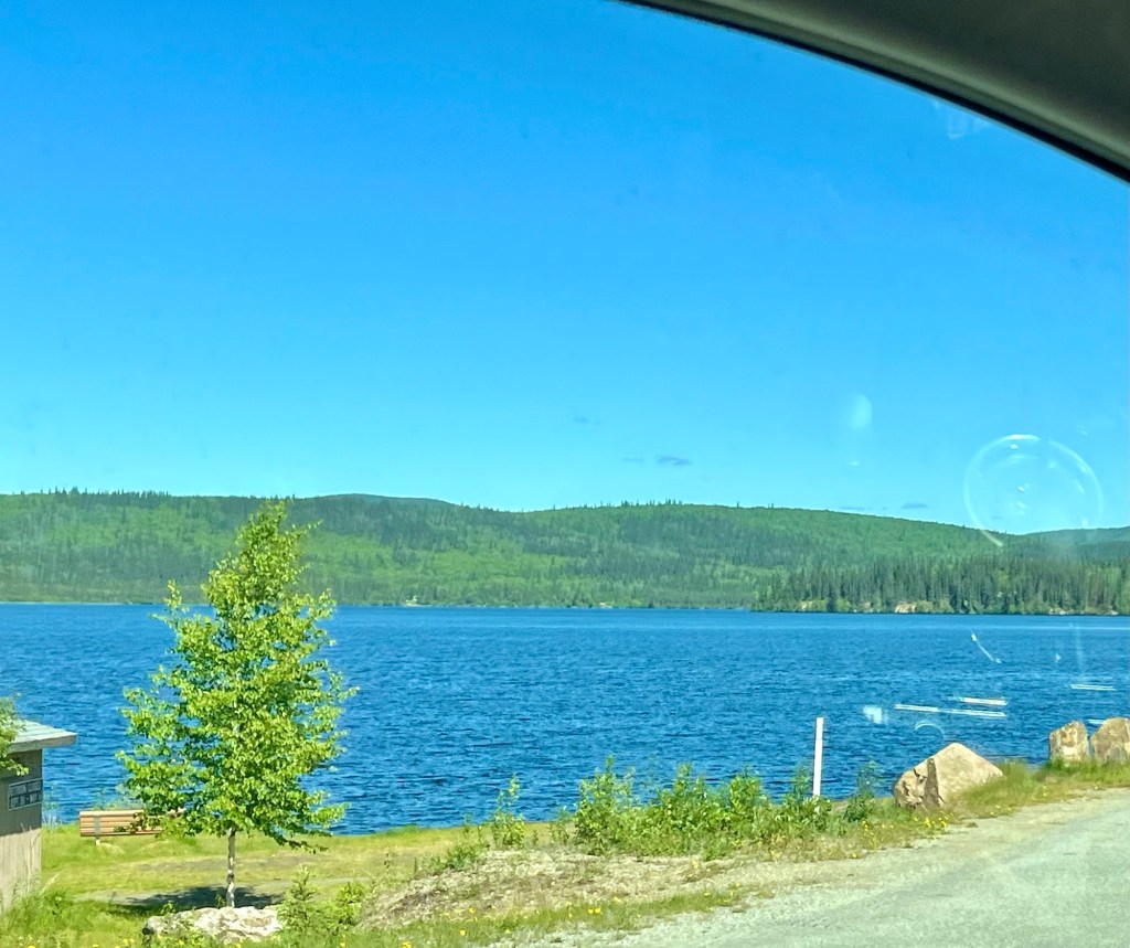
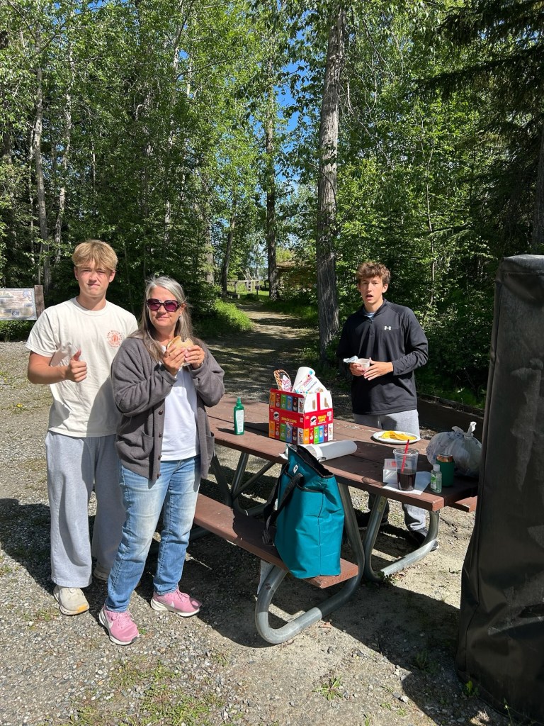
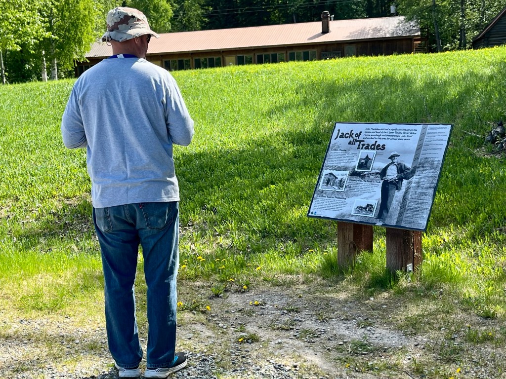
We were looking for a good picnic spot along the way, and ChatGPT gave us a couple of options. (It is so nice not having to scour the internet looking for roadside picnic spots). Found one – Big Delta State Historical Park. Mom’s café opened up and we grabbed a quick lunch and then headed in to explore the park a bit.
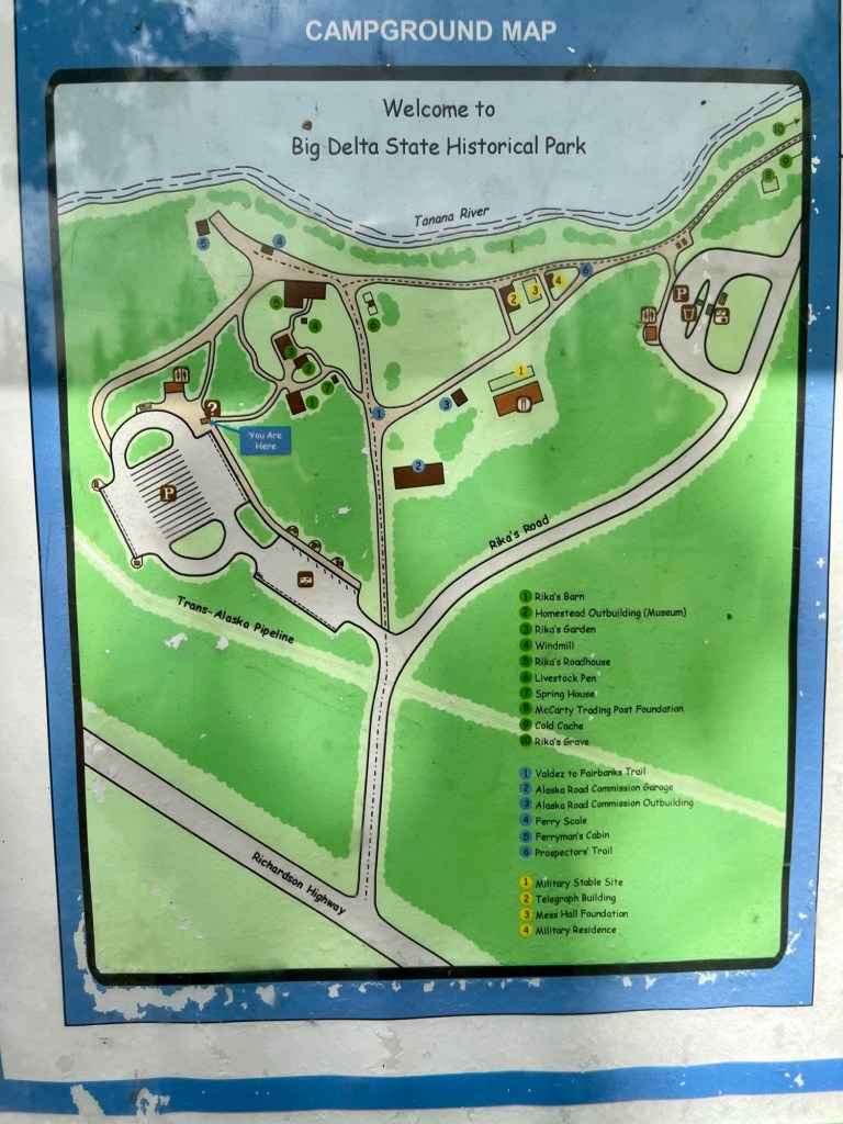
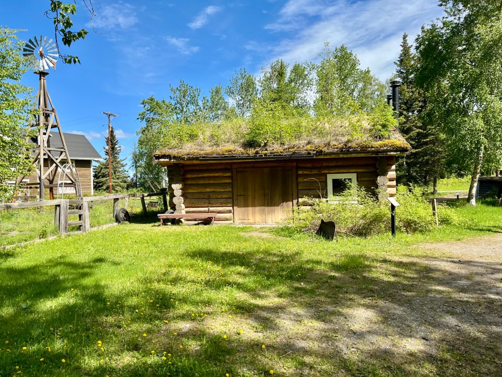
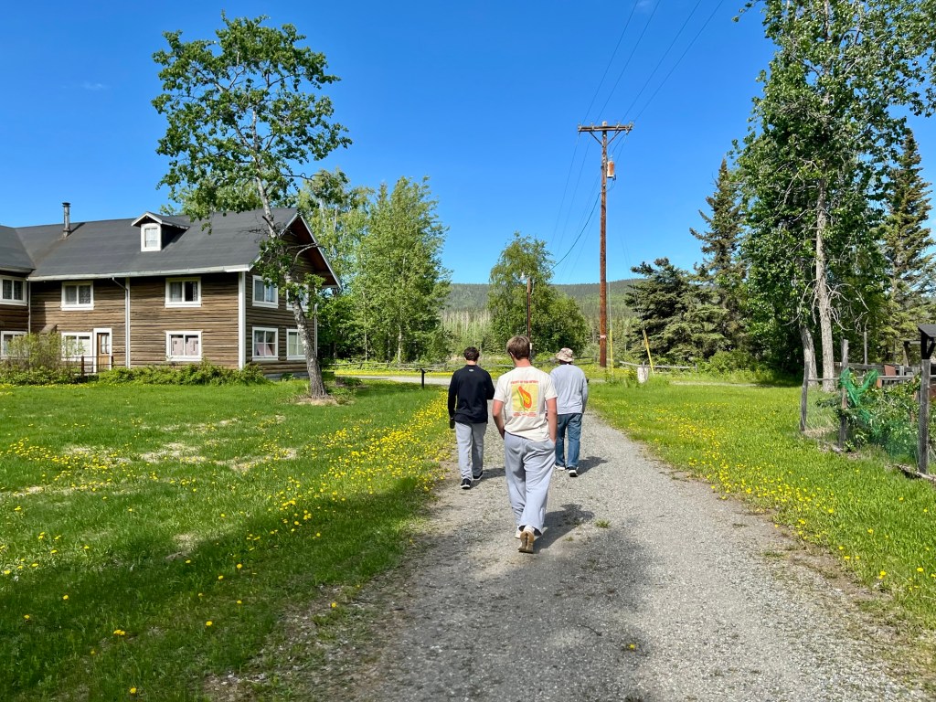
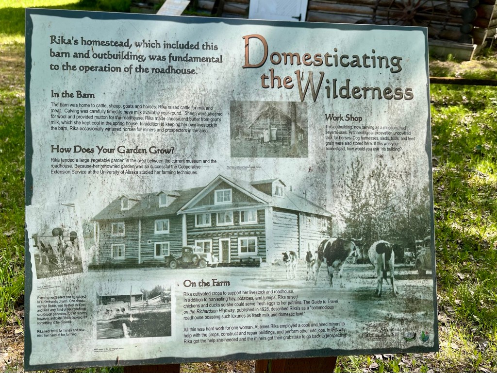
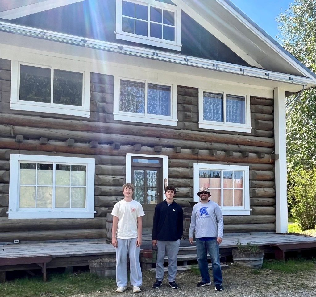
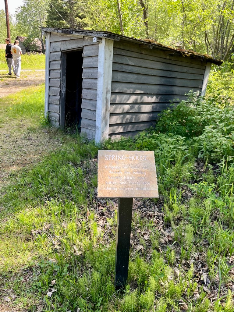
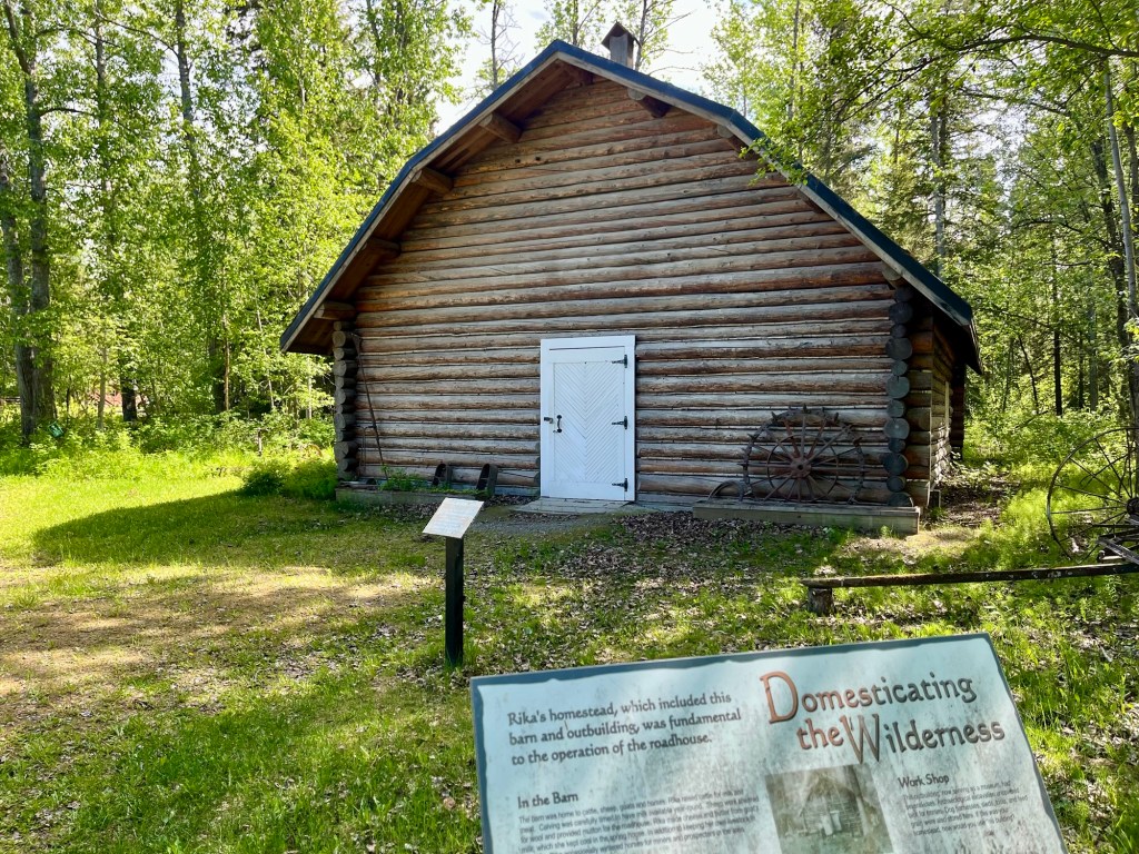
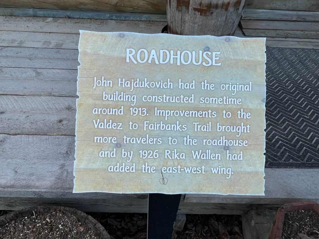
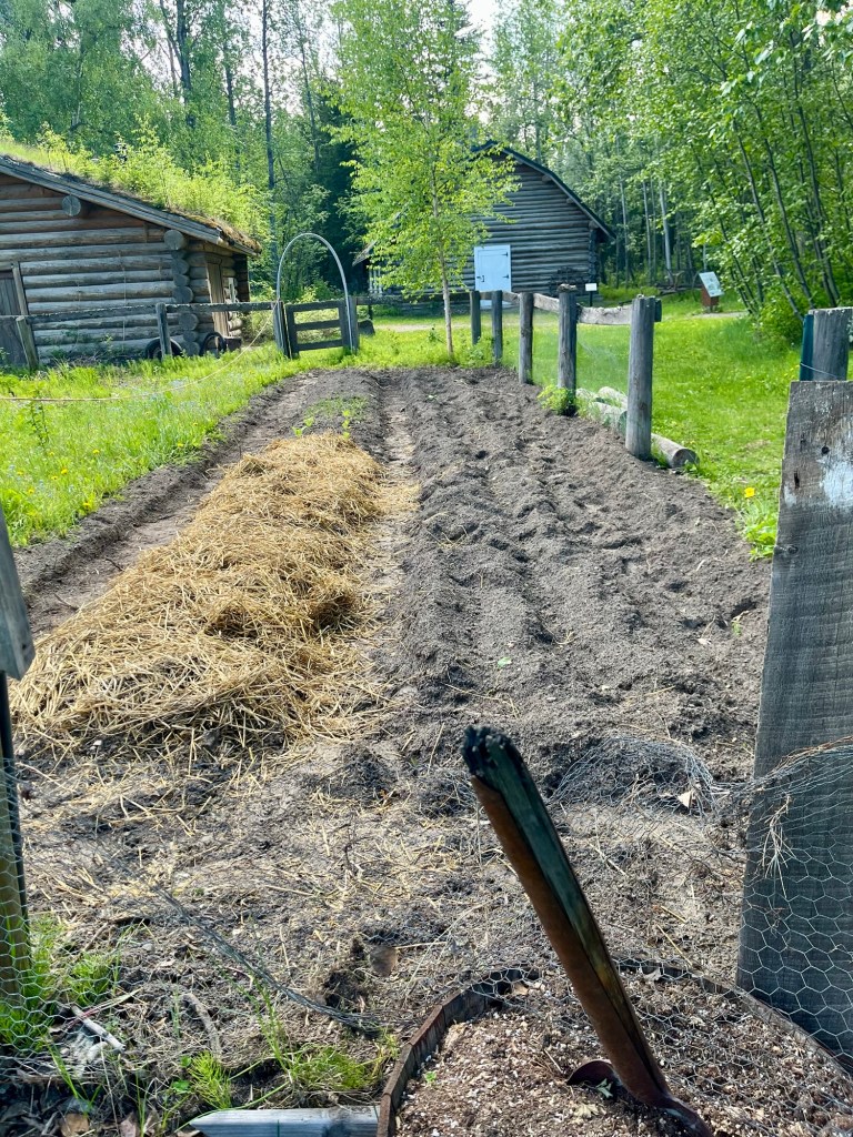
We headed in to explore the park a bit, moving quickly to avoid the giant Alaskan Mosquitos. This area was a hub of activity in the early 1900’s as a midpoint between Fairbanks and Valdez. The original buildings were expanded by a Rika Wallen, who added east and west wings onto the original roadhouse. She was an avid gardener and did so well that the Cooperative Extension Service at the University of Alaska studied her farming technique. (I think Rika and I would have been friends). And it looked like they were still using her garden now.
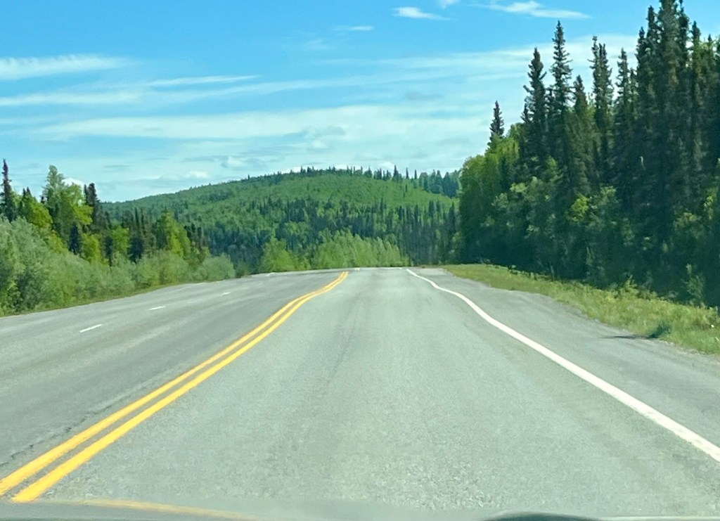
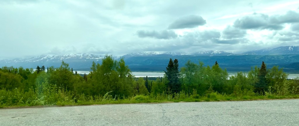
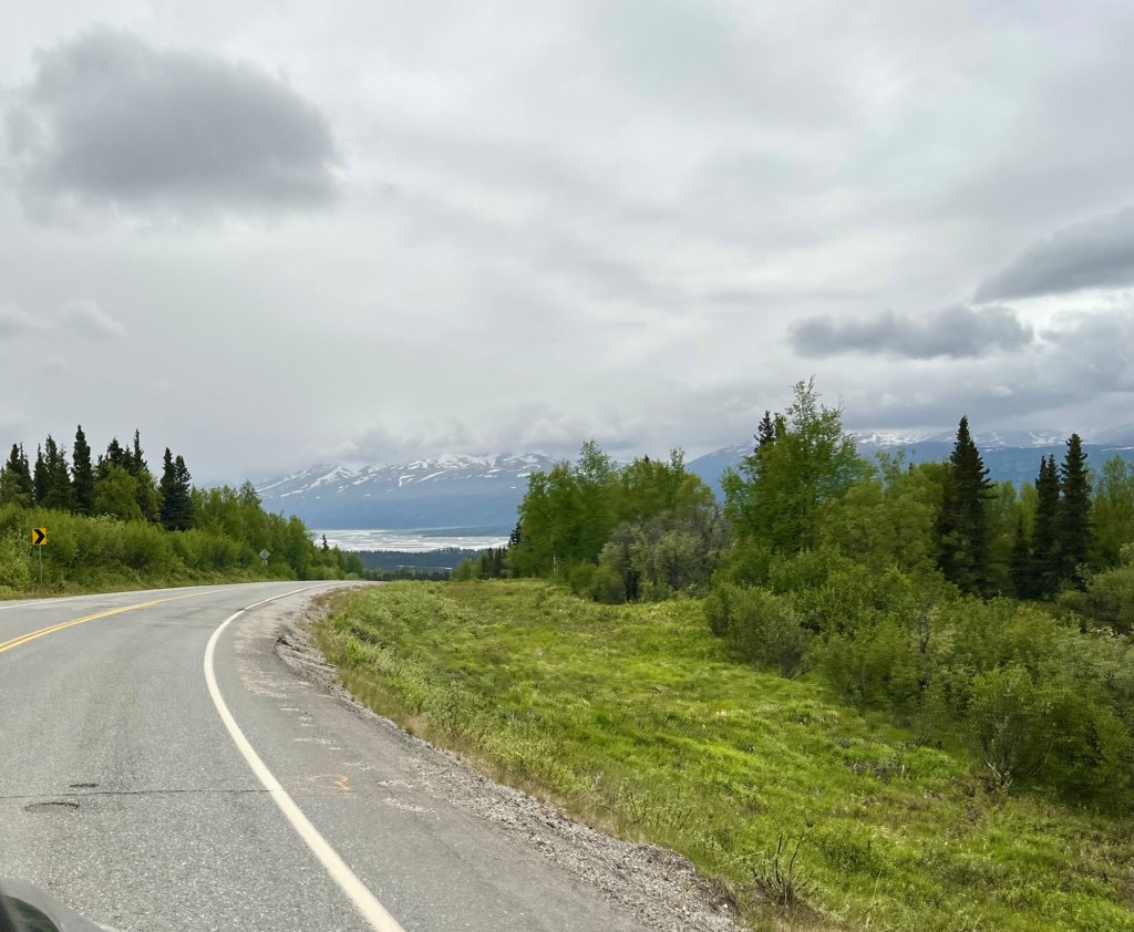
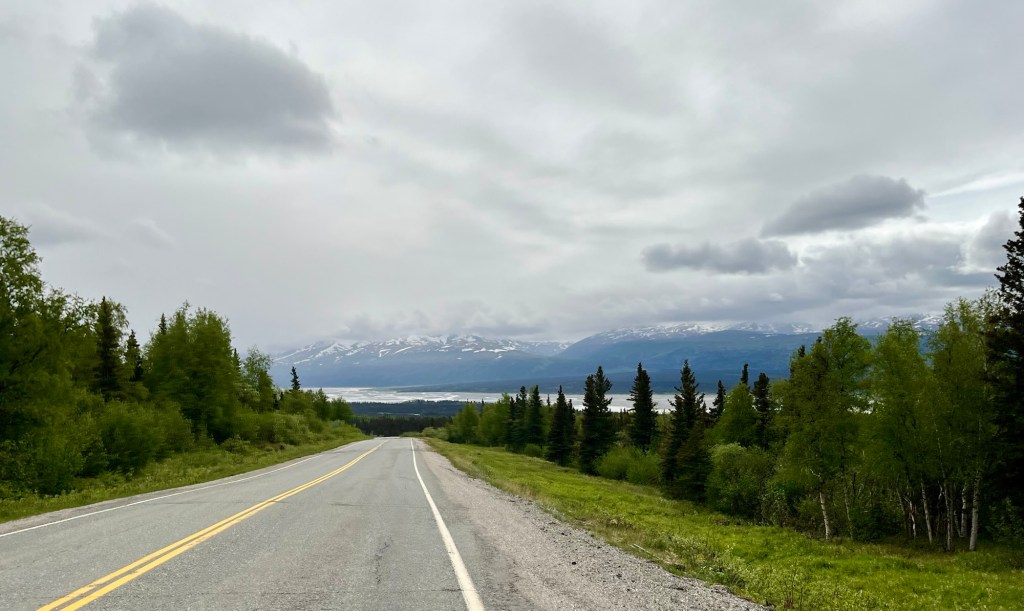
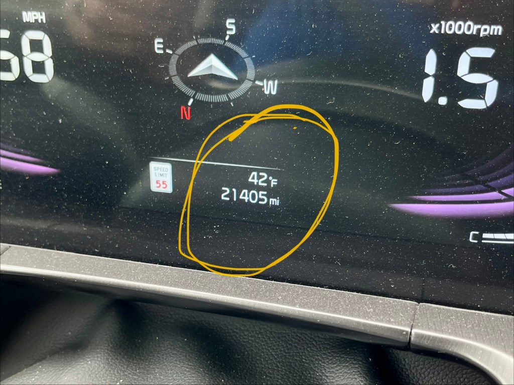
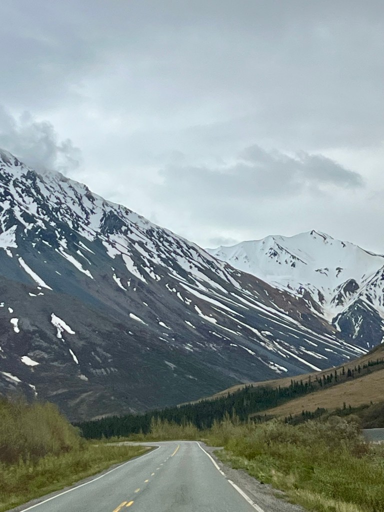
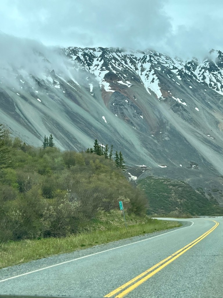
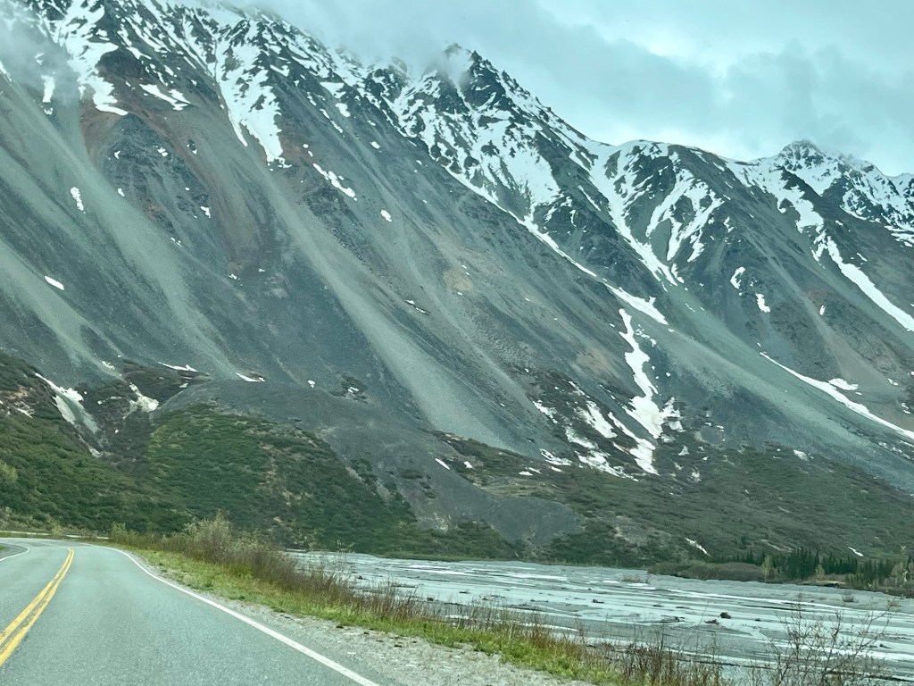
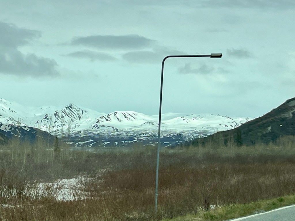
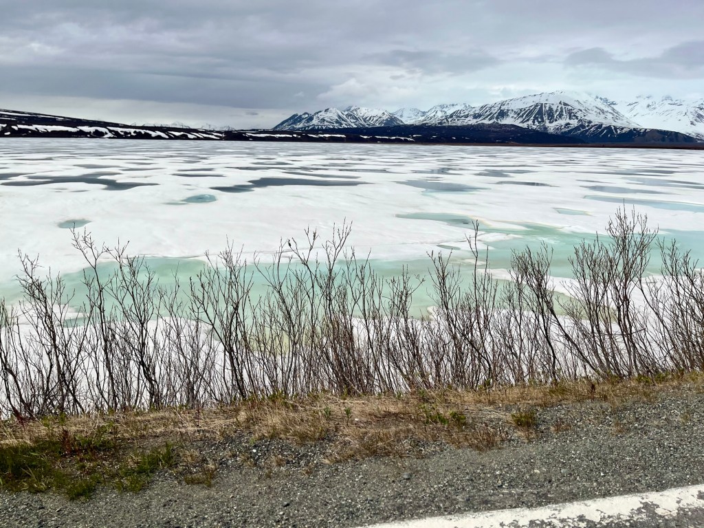
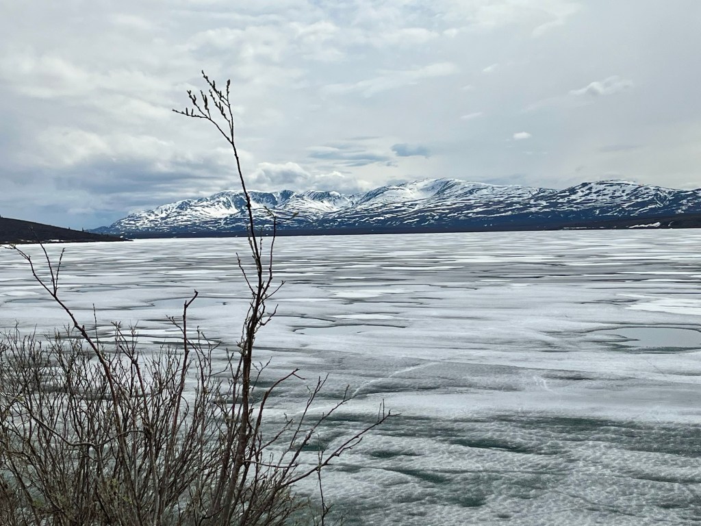
The drive was absolutely gorgeous. Hills, mountains and roads that go on and on… The further south we went, the more of the east side of the Alaskan Mountain Range we could see. And the closer we got to the mountains the colder it got. Eventually, the temperature bottomed out at 42DEGREES… in June!
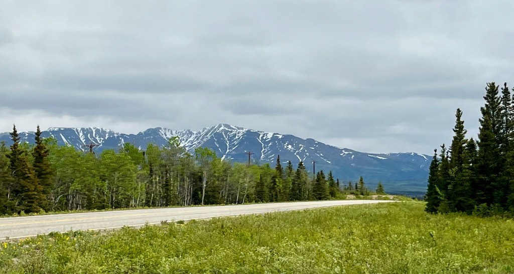
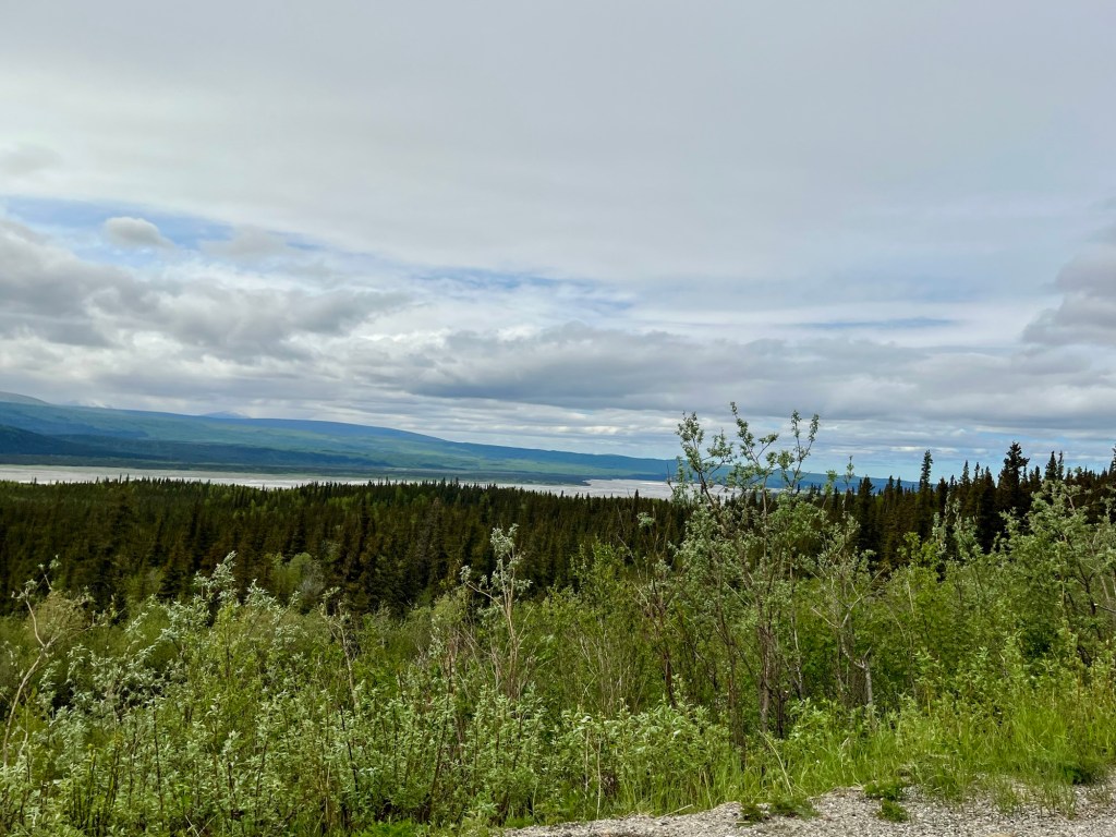
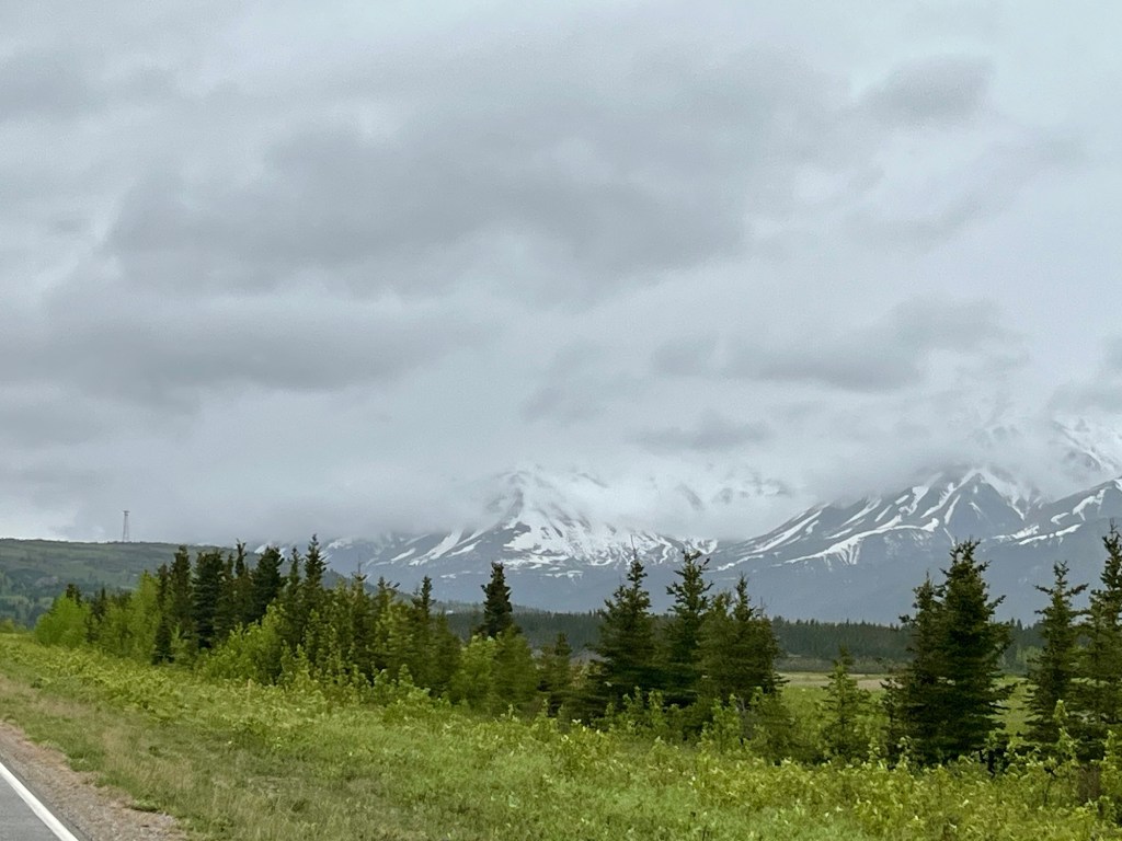
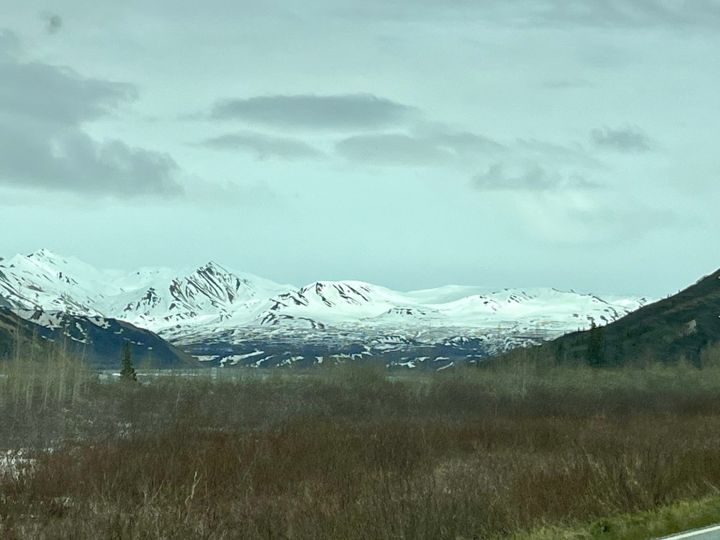
We drove by what seemed like the base of the mountains and could see these gray streaks. If you get closer, you can see that they are valleys carved by melting snow and leaving the glacier flour of crushed rocks and sand behind as they melt.
More mountains means more snow poles. This set had reflectors on them, so at some point someone is driving on top of packed snow that is very deep!
These views are ridiculous. Every time I think we have seen the most beautiful view, we turn the corner and there is one even more beautiful.
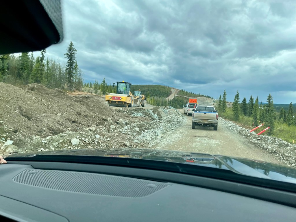
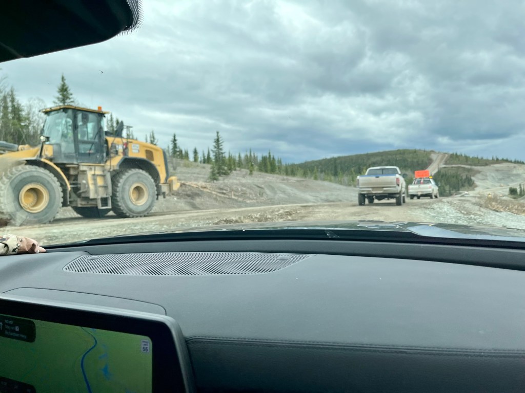
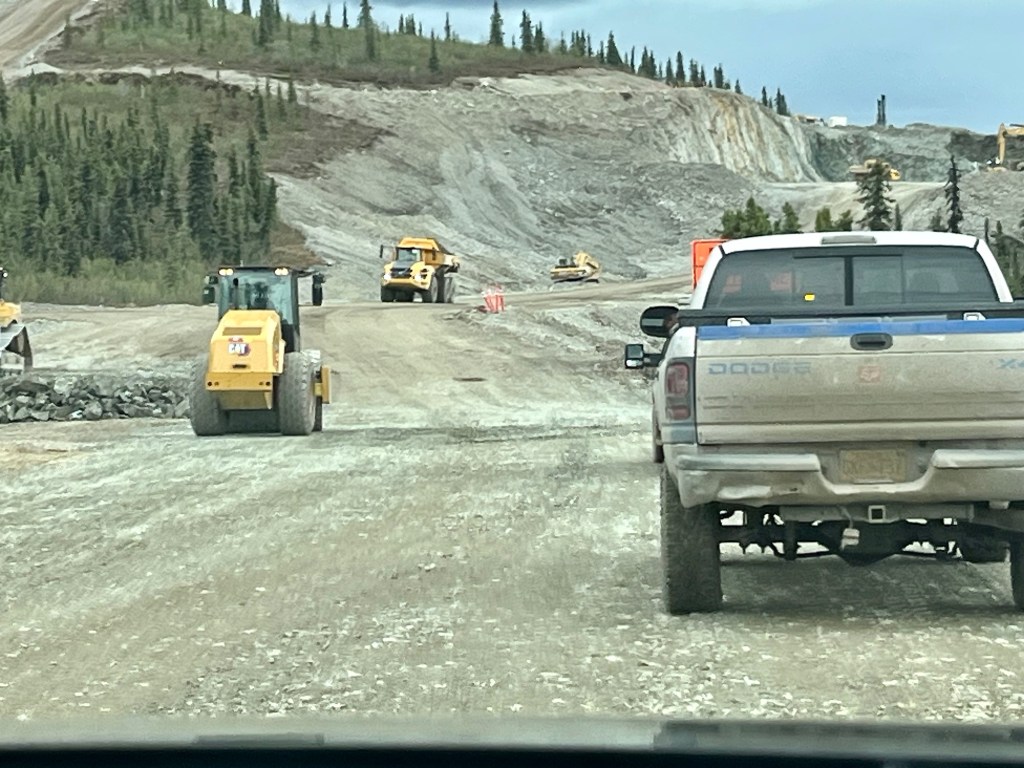
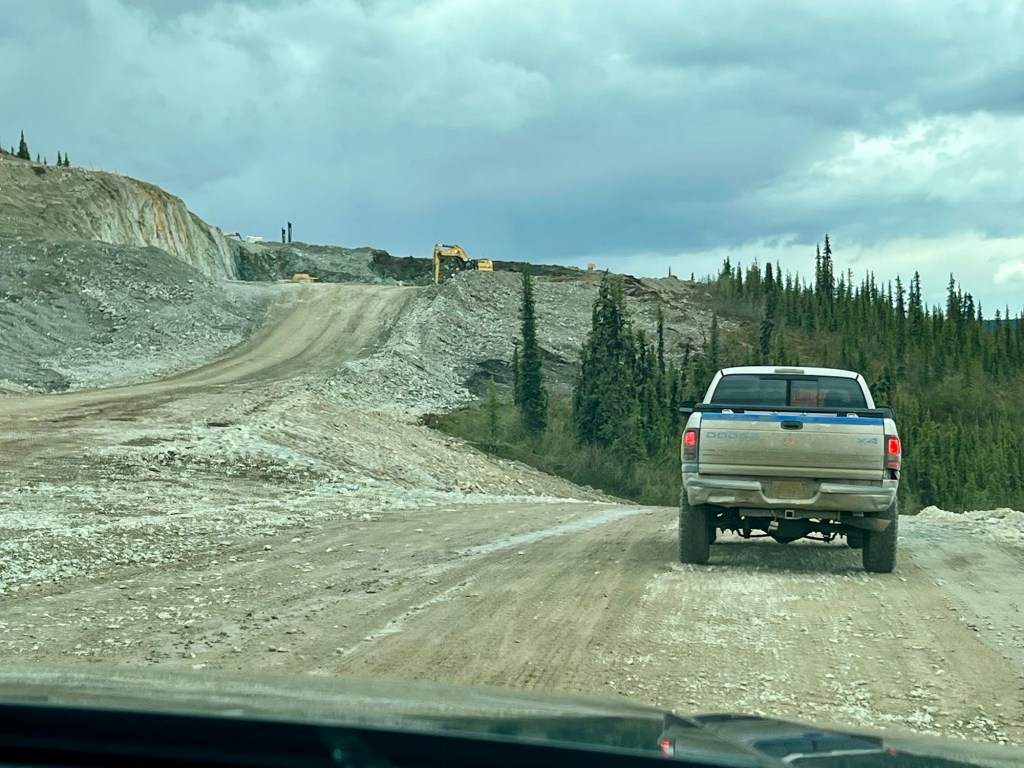
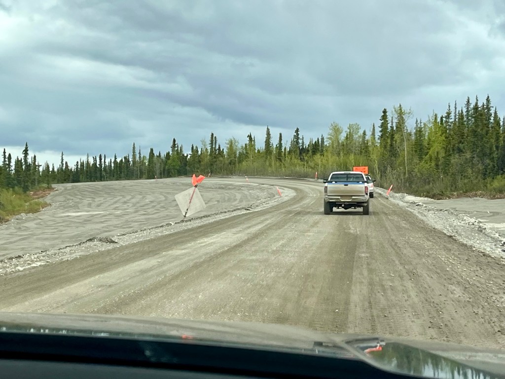
As we were driving, we hit some construction sites with a roadside flagmen. We waited, and eventually a pilot car came, and we fell in behind and off we went. This part was totally normal. We followed and followed, and then realized that the Alaskan DOT doesn’t take you around construction… they take you straight through it! Probably because, there are very few secondary roads. For the most part, there is one main paved highway to get everywhere. So if there’s construction on the paved road, you are going through the construction or you can wait months/years for it to be completed.
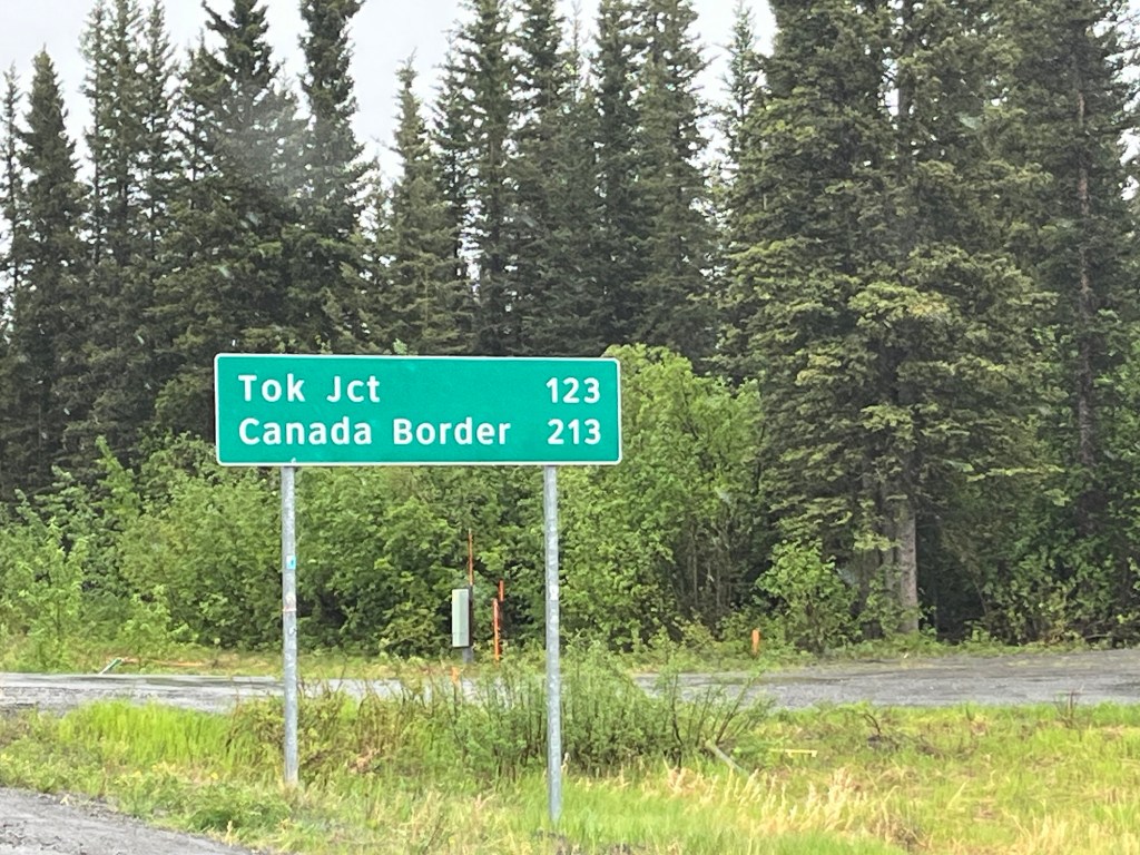
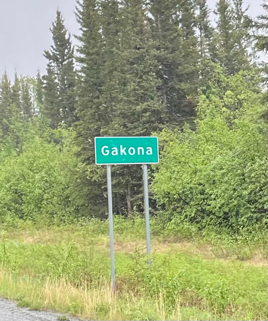
After 150 miles, we finally turned off Highway 4. Only 5 miles to our next cabin, or we could go another 213 miles and hit the Canadian Border!
Think we will stick with staying in Gakona and completed our longest drive of the trip.
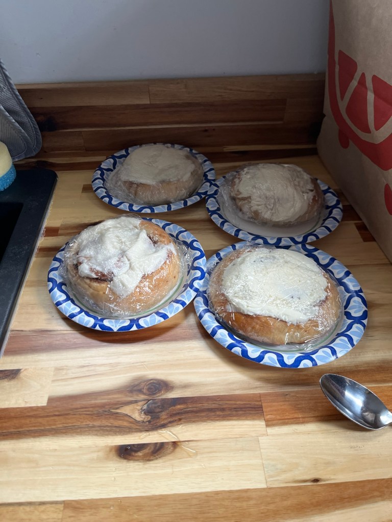
We unloaded quickly – it was pouring rain – and got everything settled. Our sweet host left us homemade sweet rolls for breakfast. YUM!
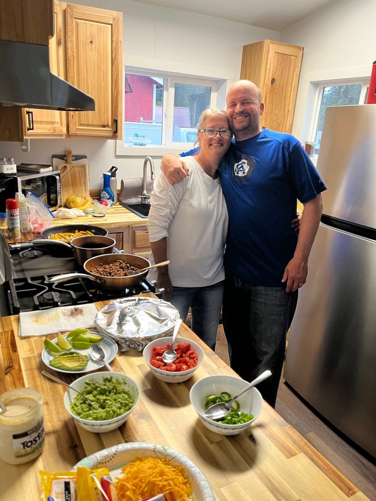
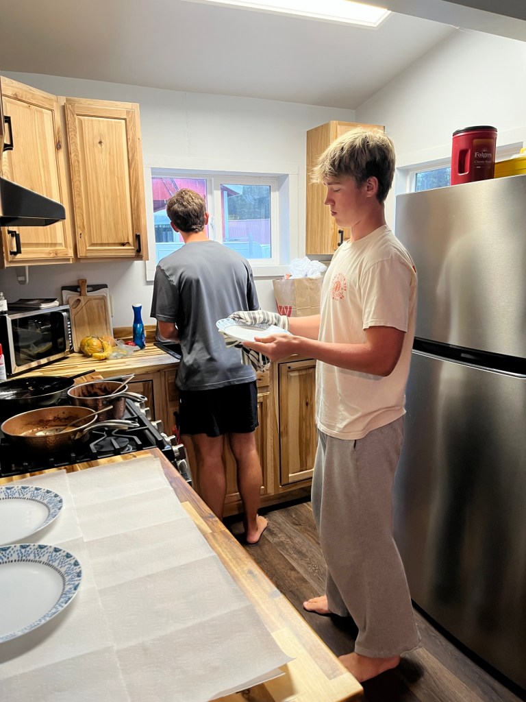
We had Nacho Plates for dinner to use up the last of some of the groceries. Mike and I cooked and the boys cleaned… the funniest was when Leo said “so where’s the dishwasher?”🤣
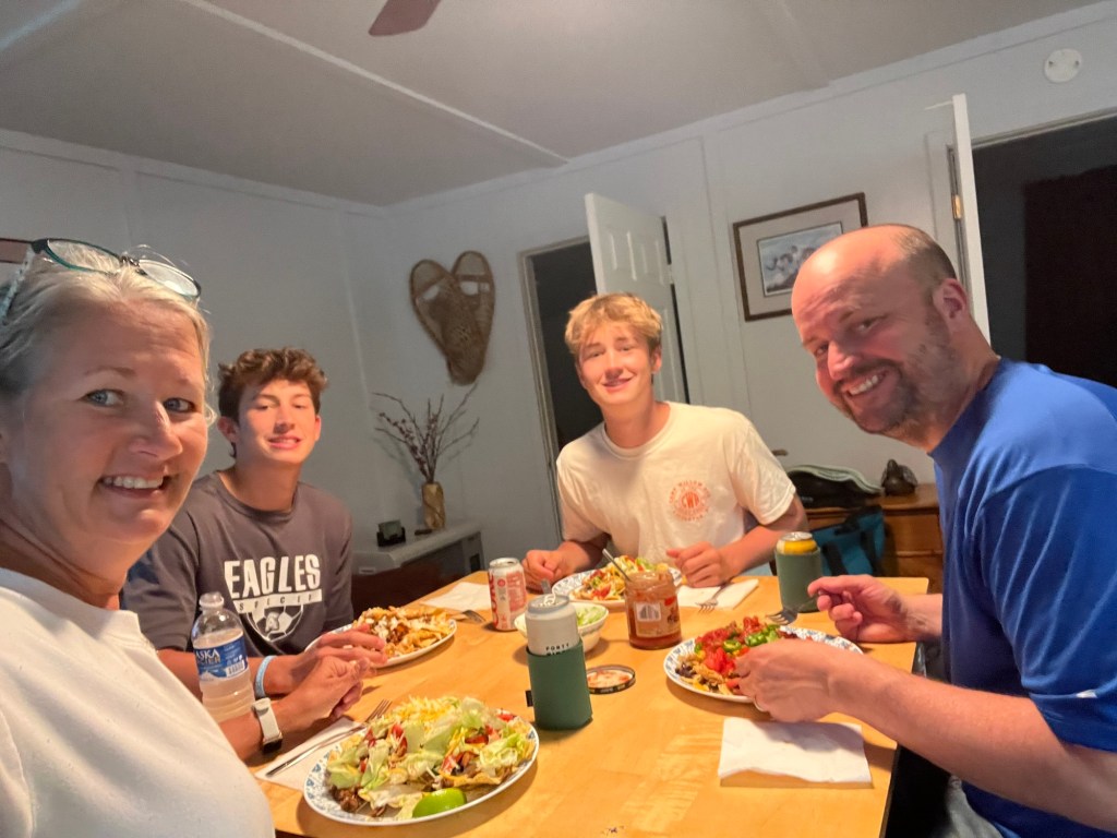
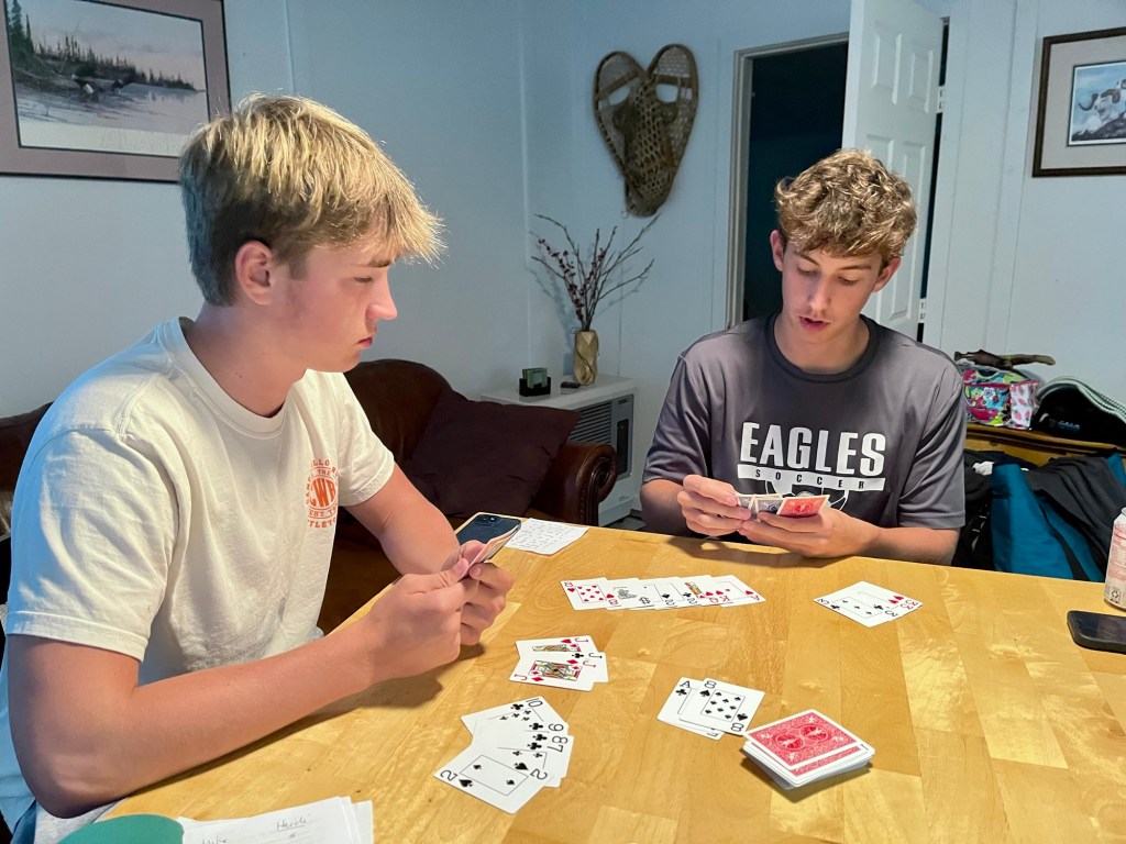
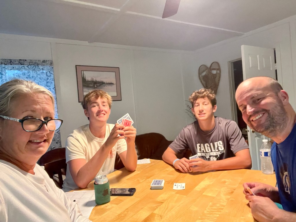
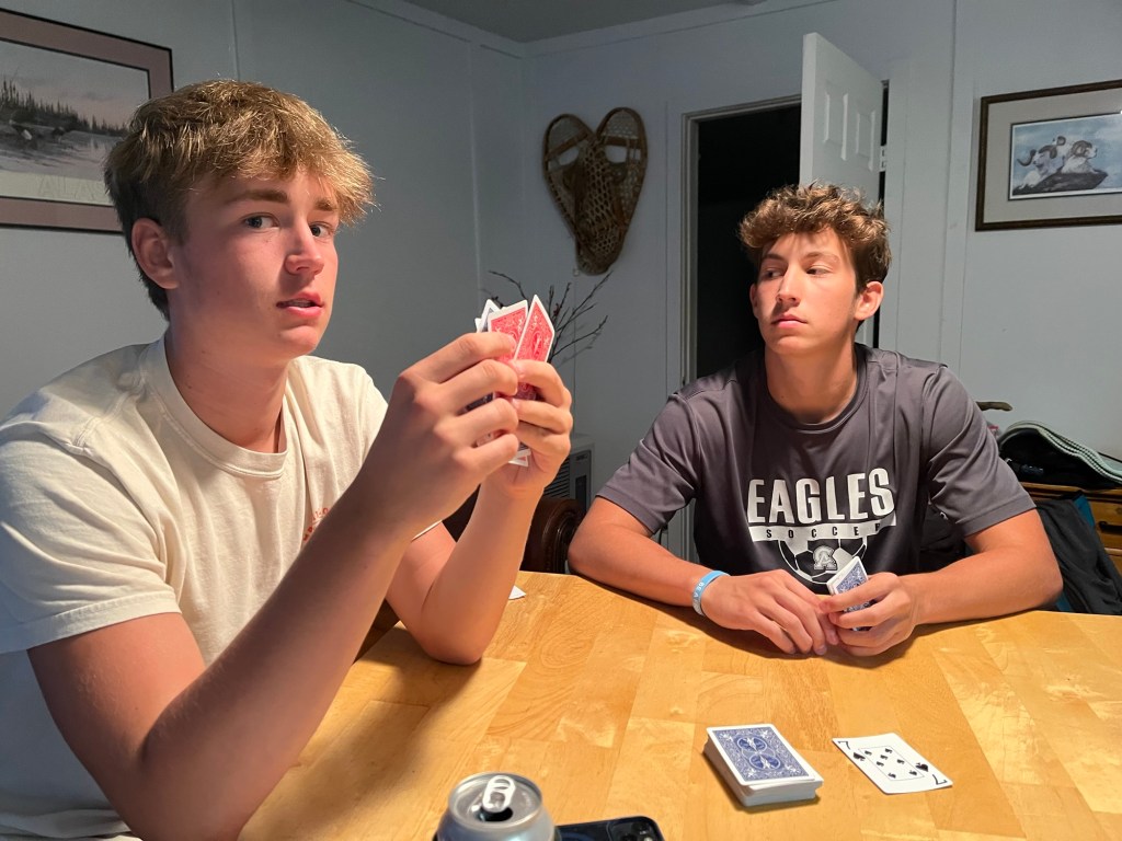
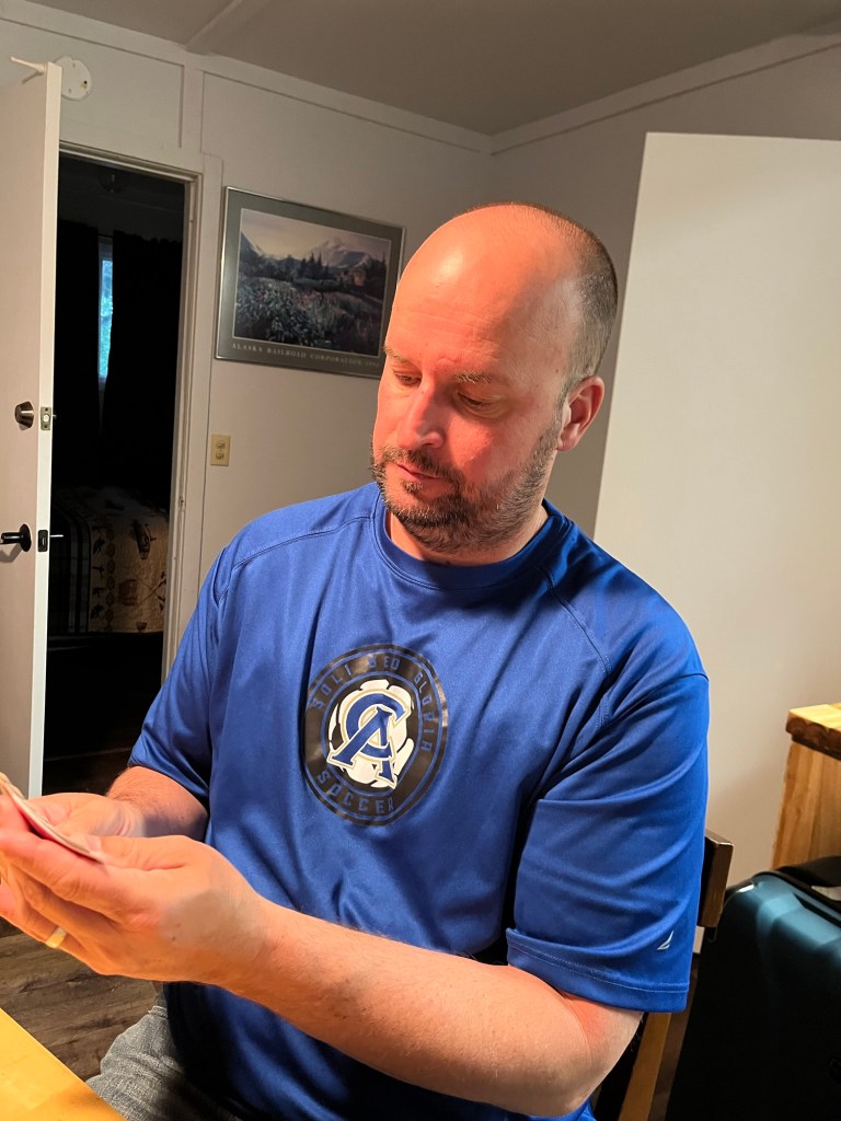
And for the first time in all out trips, we finished an entire 10-hand game of Garbage in one sitting! 🃏🃏
Tomorrow, we are heading to the little known but largest National Park, Wrangell-St Elias National Park and Preserve, and then on to Glacier View. Cannot believe we are almost to the end of this trip!
